Preetinder Kaur
Photogrammetry is the science of making measurements from photographs. The output of photogrammetry is typically a map, drawing, measurement, or a 3D model of some real-world object or scene. Many of the maps we use today are created with photogrammetry and photographs taken from aircraft.
Photogrammetrists examine pictures taken with remote viewing equipment (such as satellites or mounted cameras) in order to create specialised maps of different geographical regions. Professionals carefully analyse each picture to determine the measurements and locations of each identifiable object, and then they input that data into computerised map-making programmes.
If you wish to pursue a degree in photogrammetry, you will need to obtain a bachelor's or master's degree in Geomatics. A degree in Geomatics may be the best option, as it combines cartography (mapping technology) with geography (land surveying).
You may learn about GIS, GPS, and LIDAR systems, computer programming, engineering, mathematics, and map-making. Additionally, land planning, geodesy (astronomical and mathematical study of Earth-shaped spheres), remote sensing, photogrammetry, and mapping legal concerns may also be studied along with it.
Types
Photogrammetry can be classified a number of ways but one standard method is to split the field based on camera location during photography. On this basis we have Aerial Photogrammetry, and Close-Range Photogrammetry.
In Aerial Photogrammetry the camera is mounted in an aircraft and is usually pointed vertically towards the ground. Multiple overlapping photos of the ground are taken as the aircraft flies along a flight path. These photos are processed in a stereo-plotter (an instrument that lets an operator see two photos at once in a stereo view). These photos are also used in automated processing for Digital Elevation Model (DEM) creation.
In Close-range Photogrammetry the camera is close to the subject and is typically hand-held or on a tripod (but can be on a vehicle too). Usually this type of photogrammetry is non-topographic that is, the output is not topographic products like terrain models or topographic maps, but instead drawings, 3D models, measurements and point clouds. Everyday cameras are used to model and measure buildings, engineering structures, forensic and accident scenes, mines, earth-works, stock-piles, archaeological artifacts, film sets, etc. This type of photogrammetry (CRP for short) is also sometimes called Image-Based Modeling.
Getting in
A bachelor's degree in surveying is generally required. However, qualifications in geography, geographic information systems, remote sensing, land surveying, computer science, statistics or a related field are beneficial.
Branches include web mapping, cartography, geodesy, disaster management, global navigation satellite systems, remote sensing and geographic information systems.
Currently the main focus of studying Photogrammetry includes terrain height extraction using photogrammetric techniques and LiDAR, close range photogrammetry, advanced image classification and processing, automatic feature extraction, GPS, and hyperspectral and microwave image analysis.
Most Read In 24 Hours
Don't Miss
View All


Top News

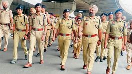
 Nearly 61 per cent turnout in Phase 2 of Lok Sabha polls; Tripura records 78.53 per cent, Manipur 77.18
The Election Commission says polling remained largely peacef...

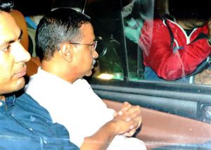
Arvind Kejriwal as CM even after arrest puts political interest over national interest: Delhi High Court
The court says the Delhi government is ‘interested in approp...

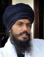
Amritpal Singh to contest Lok Sabha poll from Punjab’s Khadoor Sahib, confirms mother
The formal announcement is made by his mother Balwinder Kaur...

Supreme Court dismisses PILs seeking 100% cross-verification of EVM votes with VVPAT slips
Bench however, issues certain directions to Election Commiss...

Will stop functioning in India if made to break encryption of messages: WhatsApp to Delhi High Court
Facebook and Whatsapp have recently challenged the new rules...