Photo for representational purpose only. iStock
Washington, November 19
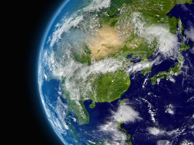
NASA scientists have compiled a captivating video that maps how the Earth’s surface has changed over a span of 20 years, using data from various satellites.
(Follow The Tribune on Facebook; and Twitter @thetribunechd)
In the Northern Hemisphere, ecosystems wake up in the spring and sprout new leaves, while a fleet of Earth-observing satellites track the spread of the newly green vegetation.
Meanwhile, in the oceans, microscopic plants drift through the sunlit surface waters and bloom into billions of carbon dioxide-absorbing organisms, and light-detecting instruments on satellites map the swirls of their colour.
Satellites measured land and ocean life from space as early as the 1970s. However, it was not until the launch of the Sea-viewing Wide Field-of-view Sensor (SeaWiFS) in 1997 that the space agency began what is now a continuous, global view of both land and ocean life.
A new animation captures the entirety of this 20-year record, made possible by multiple satellites, compressing a decades-long view of life on Earth into a captivating few minutes.
“These are incredibly evocative visualisations of our living planet,” said Gene Carl Feldman, from NASA’s Goddard Space Flight Centre in the US.
“That’s the Earth, that is it breathing every single day, changing with the seasons, responding to the Sun, to the changing winds, ocean currents and temperatures,” said Feldman.
Since the fall of 1997, NASA satellites have continuously and globally observed all plant life at the surface of the land and ocean.
Twenty years of satellite data has helped scientists track phytoplankton populations in the ocean, study changing vegetation in the Arctic reaches of North America, monitor crop yields and more.
The space-based view of life allows scientists to monitor crop, forest and fisheries health around the globe. However, scientists have also discovered long-term changes across continents and ocean basins.
As NASA begins its third decade of global ocean and land measurements, these discoveries point to important questions about how ecosystems will respond to a changing climate and broad-scale changes in human interaction with the land.
Satellites have measured the Arctic getting greener, as shrubs expand their range and thrive in warmer temperatures.
Observations from space help determine agricultural production globally, and are used in famine early warning detection.
As ocean waters warm, satellites have detected a shift in phytoplankton populations across the planet’s five great ocean basins, the expansion of “biological deserts” where little life thrives.
As concentrations of carbon dioxide in the atmosphere continue to rise and warm the climate, NASA’s global understanding of plant life will play a critical role in monitoring carbon as it moves through the Earth system. PTI


