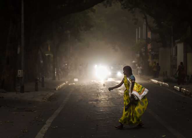
People caught in a dust storm, in New Delhi, on Wednesday, June 12, 2019. PTI
Vibha Sharma
Tribune News Service
New Delhi, June 12
Cyclone Vayu is not just threatening Gujarat with flooding and damaging winds, it is also adversely affecting the Southwest monsoon, disrupting its current.
Meteorologists say while Western parts of the country will continue to receive good rains, parched interiors of Peninsular and Central India may experience a further delay in the much-needed seasonal rains.
Cyclone Vayu and El Niño are elongating the heat wave spell, sending temperatures soaring over several parts even though the Northwest has received some respite due to dust storms.
Over the next couple of days dust storm and gusty winds (30-40 Kmph) can be expected over isolated places over Uttar Pradesh, Punjab and Haryana, Chandigarh and Delhi, bringing down the temperatures, they say.
However, no further advancement of monsoon is expected till June 15, when Vayu subsides. So, already running late by seven to 12 days, the monsoon is expected to arrive in Central India only by around June 25 to Month-end. In other words it means its progress into the Northwest may also be delayed, though as per D S Pai, head of the Long Range forecast of the IMD at Pune, it all depends upon its “circulation features”.
“Once monsoon reaches Central India, possibly around June 25 to month-end, it may travel fast depending upon its circulation features,” Pai added.
On the fears that rains may not be well-distributed or adequate over Northwest, Pai said it “will be incorrect to give any such prediction at this point in time as there are year-to-year variations. Besides there is no relationship between delay in the onset and amount of rainfall, it all depends on how it progresses and its intensity”.
But as the country passes through a severe water scarcity with lowering levels in reservoirs and an expected deficiency in June rainfall, Mahesh Palawat, VP, Meteorology and Climate Change with Skymet, a private weather forecaster, is not expecting well-distributed seasonal rains over the Northwest— Punjab, Haryana and Chandigarh.
“Though Delhi is expected to receive normal rains, same cannot be said about Punjab, Haryana and Chandigarh,” Palawat said
In other words, it means that not only will the wait for seasonal rains be longer this year they may not be adequate over the region. In the meantime respite from the heatwave is expected to continue for the next four to five days. “Moisture laden easterly winds have replaced the hot and dry westerly, bringing down heatwave conditions. El Niño effect further added to westerlies coming in from Pakistan and Rajasthan, resulting in prolonged dry spell. If the monsoon had reached Central India by June 10/12, it would not have been as hot,” experts say.
Vayu progress
Cyclones that develop in the Arabian Sea impact monsoon current more than those in the Bay of Bengal.
Vayu is very likely to move nearly northwards and cross Gujarat coast between Porbandar and Mahuva around Veraval and Diu region as a Severe Cyclonic Storm with wind speed 110-120 kmph gusting to 135 kmph during early morning of June 13, says the IMD.


