Disaster management authority conducts expedition to Gepang Gath Lake in Lahaul and Spiti
Unlock Exclusive Insights with The Tribune Premium
Take your experience further with Premium access. Thought-provoking Opinions, Expert Analysis, In-depth Insights and other Member Only Benefits
Advertisement
Dipender Manta
Advertisement
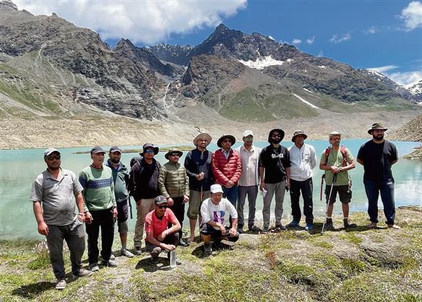
Mandi, July 27
In response to the recent catastrophic Glacial Lake Outburst Flood event at South Lhonak Lake in Sikkim, the National Disaster Management Authority has mandated a comprehensive study of potential glacial lake hazards across Himalayan states. The Himachal Pradesh State Disaster Management Authority has initiated a detailed investigation into high-risk glacial lakes, including the Gepang Gath glacial lake.
A team led by Lahaul and Spiti Deputy Commissioner Rahul Kumar conducted an extensive field expedition from July 24 to 26, focusing on the Gepang Gath Lake, which is situated at an altitude of approximately 4,098 meters (32°31’N 77°13’E). The expedition aimed to assess various parameters crucial for early warning systems and risk mitigation.
Advertisement
The DC said that key aspects studied during the expedition included lake dimensions and barrier strength, moraine characteristics and water discharge, outflow and water level measurements, geology and valley slopes, risks of cloud bursts, landslides, and rockfalls, presence of ice core in the moraine and lake depth, downstream slope, soil, rock, vegetation, and infrastructure, turbidity and proximity to habitations.
“The Central Water Commission (CWC) examined the lake’s outlet and evaluated the feasibility of establishing an early warning telemetry system. Drone-based GIS mapping was carried out in collaboration with the Lahaul Spiti district administration, producing high-resolution images for detailed analysis and risk assessment,” he added.
“The National Centre for Polar and Ocean Research and IIT-Bombay joined the expedition to study the glacier’s response to climatic changes. NCPOR conducted a bathymetric survey for volumetric analysis, while the Jal Shakti Vibhaag collected turbidity samples from,” he said.
Advertisement
Advertisement