


Digital map to finally end police station turf war

Deepender Deswal
Tribune News Service
Hisar, July 11
Disputes between police stations over the issue of jurisdiction — figuring out under which police station an area falls where an incident of crime took place — will soon be a thing of the past in Haryana. The state Police Department is all set to introduce a digital map detailing the jurisdiction of police station areas.
Some years ago, a rape victim, whose child had been abducted from near the Hisar railway station, was admitted to the civil hospital. The city police and the railway police got engaged in a jurisdictional row for four days before they began an investigation and attempted to recover the child.
The city police station had registered a zero FIR (transferrable to any police station) under Section 376 (rape) and 361 (kidnapping from lawful guardianship) and the probe was kept in abeyance until the jurisdiction issue was settled between the two police stations. The child was eventually found.
Such turf wars will be over once and for all with the introduction of digital mapping of jurisdiction areas of police station in the state.
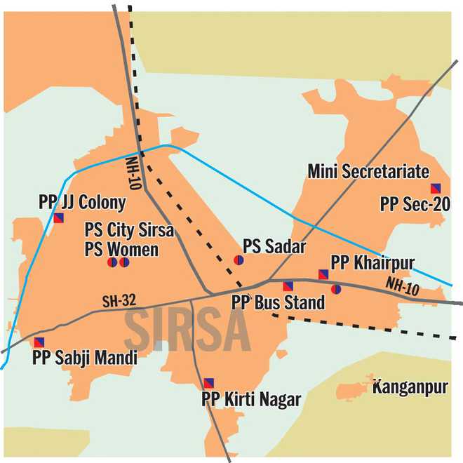
The Haryana Space Application Centre (Harsec) has done the Geographic Information System (GIS) mapping that marks the exact boundary, with a list of villages within the jurisdiction of each police station.
The digital map, known as GIS map of the jurisdiction of police stations, demarcates the police stations’ areas without ambiguity.
Dr RS Hooda, chief scientist of Harsec, said that they have completed the project but minor changes in jurisdiction continue to be updated as per the information provided by the police.
Dr Hooda said the system is simple to operate with the help of android and Internet-enabled mobile phones. “One can get the global positioning system (GPS) location of any crime spot on the phone and transfer it to the digital map of the Police Department. The GPS location — by measuring the latitude and longitude — will show the jurisdiction of the police station in which the particular crime site falls,” he said.
He said they had prepared the digital map with the operating guidelines and provided it to the Police Department.
Hisar range IGP Sanjay Kumar said the “digital map will instantly flash the exact location and jurisdiction under a specific police station”. IGP (Modernisation) Saurabh Singh said, “It will take some time to integrate and implement the software for proper usage.”
Relying on GIS
- The digital map, known as GIS map of jurisdiction of police stations, demarcates police stations’ areas without ambiguity
- System is simple to operate with help of android and Internet-enabled phones
Unlock Exclusive Insights with The Tribune Premium
Take your experience further with Premium access.
Thought-provoking Opinions, Expert Analysis, In-depth Insights and other Member Only Benefits
Already a Member? Sign In Now


