Photo for representation only.
Vibha Sharma
Chandigarh, April 16
Last month, Earth added another unneeded record with March 2024 becoming the warmest March in the planet’s climate record, and one of the key reasons was said to be the prevalence of El Niño phenomenon.
The month also continued the world’s streak of record-breaking warm months — 10 in a row—according to NOAA’s National Centers for Environmental Information (NCEI).
As per NOAA, the “average global land and ocean-surface temperature for March was 2.43 degrees F (1.35 degrees C) above the 20th-century average of 54.9 degrees (12.7 degrees C), ranking as the warmest March in the 175-year global climate record. March 2024 was also the 10th-consecutive month of record-high global temperatures”.
According to the WMO, the 2023-24 El Nino peaked as one of the five strongest on record, resulting in above-normal temperatures over almost all land areas between March and May.
Prevailing El Nino conditions fuelled record temperatures and extreme events the world over, with 2023 being the warmest on record.
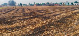
Early and intense heat waves in southern parts of India can be attributed to the prevailing El Niño conditions.
Move over El Niño, La Niña is arriving
The IMD, which yesterday presented a forecast for the upcoming Southwest Monsoon said La Niña, was expected to take the place of a weakening El Niño this summer.
The monsoon forecast suggested above average seasonal rainfall during June to September—106% of the Long Period Average (LPA) with a model error of ± 5%.
Currently, moderate El Niño conditions are prevailing over the equatorial Pacific region, the IMD said.
“The latest Monsoon Mission Climate Forecast System (MMCFS) as well as other climate model forecasts indicate that the El Niño condition is likely to weaken further to neutral El Nino Southern Oscillation (ENSO) conditions during early part of the monsoon season and La Niña conditions are likely to develop during second half of monsoon season,” it added.
SSTs and India
At present, neutral Indian Ocean Dipole (IOD) conditions are prevailing over the Indian Ocean and the latest climate model forecasts indicate that the positive IOD conditions are likely to develop during the later part of the southwest monsoon season, the IMD said.
As sea surface temperature (SST) conditions over the Pacific and the Indian Oceans are known to have a strong influence on the Indian monsoon, scientists are “carefully monitoring the evolution of sea surface conditions over these Ocean basins,” the IMD said.
As per meteorologists, the shift from El Niño to La Niña may have implications for what to expect in the winters.
“The spring snow cover extent over the Northern Hemisphere as well as Eurasia has a generally inverse relationship with the subsequent Indian summer monsoon rainfall. The northern hemisphere snow cover areas during January to March 2024 were observed to be below normal. The expected La Nina, positive IOD and below normal snow cover over northern hemisphere would be favourable for rainfall during southwest monsoon season, 2024,” the IMD says
La Niña and hurricanes in West
El Niño, and La Niña, are both SSTs.
El Niño, the periodic warming of water in the eastern and central Pacific Ocean near the equator, peaked in late November and December and started to wane over the last couple of months.
El Niño, which means ‘Little Boy’ in Spanish, also affects weather in the US and Canada significantly.
The warmer waters cause the Pacific jet stream to move south of its neutral position resulting in areas in the northern US and Canada becoming dryer and warmer than usual. But in the US Gulf Coast and Southeast, these periods are wetter than usual and have increased flooding, explains NOAA
La Niña, which means ‘Little Girl’ in Spanish, has the opposite effect of El Niño.
During La Niña events, trade winds are stronger than usual, pushing more warm water toward Asia. These cold waters in the Pacific push the jet stream northward. This tends to lead to drought in the southern US and heavy rains and flooding in the Pacific Northwest and Canada. During a La Niña year, winter temperatures are warmer than normal in the South and cooler than normal in the North, it adds
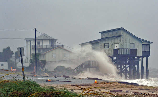
La Niña is expected to result in a more severe Atlantic hurricane season.
La Niña increases the number of hurricanes that develop and allows stronger hurricanes to form, say experts
Chances that continental US and the Caribbean Islands experience a hurricane increase substantially during La Niña and decrease during El Niño, they add.
Join Whatsapp Channel of The Tribune for latest updates.


