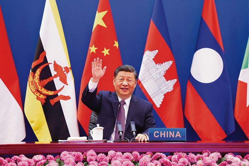
EVASIVE: The sooner Xi Jinping-led CPC accepts the reality of the McMahon Line, the safer would be the world. AP
Abhijit Bhattacharyya
Author and Columnist
CHINA is the flavour of the season as far as books are concerned. As India goes on the back foot over territory, trade, border and high-table diplomacy, authors — diplomats, journalists, defence experts — are vying with each other to convince the ‘overinformed’ yet beleaguered Indians that all chaos, confusion and confrontation between New Delhi and Beijing originate from an ‘undefined boundary’ and the ‘fractured Himalayas’. And though the onus lies on both China and India to sit and resolve the boundary issue once and for all, the Communist Party of China (CPC) continues to be a difficult customer, especially the way it negotiates and resorts to a hard bargain.
There is a tendency to avoid hurting the sensitivities and sentiments of the CPC even if it resorts to undiplomatic acts to harm India. Expectedly, we are witnessing unabashed Nehru-bashing. True or not, Nehru erred. But was it mala fide or motivated? No. It was a bona fide error of judgement born out of misjudged navigation by diplomats. The error was promptly rectified at the first available opportunity in the Lok Sabha on November 20, 1950: “Our maps show that the McMahon Line is our boundary and that’s our boundary, map or no map… and we will not let anybody come across that boundary”. How precise and pointed was the much-maligned PM’s declaration!
Indeed, nothing could have been better than the Indian stand as China had just forcibly captured Tibet in October 1950, a diversionary tactic in the face of US-led forces threatening to cross the Korea-China border in June that year. India’s Home Minister Sardar Patel wrote on November 7, 1950, to Nehru about the ‘perfidy’ and ‘malevolence’ of the CPC-led Red Army and its gross inhumanity in the abode of the non-Chinese Buddhist lamas.
The then PM Nehru’s firm stand notwithstanding, the People’s Liberation Army (PLA) led by CPC dictator Mao Zedong brazenly violated the McMahon Line in 1962 and penetrated deep, inflicting a politico-diplomatic catastrophe. Nevertheless, by resorting to a unilateral ceasefire and a voluntary retreat to the pre-war position, 20 km behind the Line of Actual Control (LAC), the CPC stamped its political acceptability on the McMahon Line as the boundary between India and China. The CPC silently conceded that its pre-war border-stand was wrong, and the intrusion into India a monumental folly. The post-war act of China, therefore, was nothing but a belated recognition of the McMahon Line as de jure India-China boundary.
That the rock-steady Indian stand on the border issue was justified and rational can be gauged from two comments of eminent westerners, whose sympathy and support invariably lay with the CPC as the victim, and democratic India as the implied devil. Gunnar Myrdal wrote in Asian Drama: “First…instinctive reaction of every new government” (the successor independent states of Asia, Africa etc.) “was to hold fast to territory bequeathed to it”. Why not? What’s wrong about it? If the British-ruled Indian territory went back to indigenous rulers on attaining freedom, why this remote remorse, cribbing and crying? Myrdal further said: “What the colonial power had ruled, the new state must rule.”
Do western intellectuals expect or want former colonies which attained independence to be broken into pieces like the Balkans in eastern Europe? In Europe, only five or six states could be big powers with colonies; the vast landlocked East European soil, known as the Balkans, was rarely allowed to be strong, big or united. It was usually bruised and broken into a small, weak and submissive demography, schemed by Czarist Russia, Habsburg of western Europe, Hohenzollern of Prussia (Germany), Ottoman Empire of Turkey and British monarchy in the guise of finding a solution at a diplomatic conference such as the Congress of Berlin in 1878.
Historian Arnold Toynbee said, “If anyone paid any attention to what Durand and McMahon were doing, they would have written it off as just another move in the immoral game of power that the British were playing… Consecration of these British-made lines as heirlooms in the states’ national heritages is an unexpected and unfortunate turn of the history’s wheel.”
Toynbee saw only one side, ignoring the other one. What the British did may or may not be immoral, but all empires do that and end with empires with undefined/undemarcated/fluctuating borders owing to frequent victory or defeat in war. The Chinese empires did it for centuries. Russian empires lost sight and count of their oscillating boundaries in the vastness of Mackinder’s ‘Eurasian Heartland’. In comparison, the McMahon Line is a puny line which was made the boundary/border separating the remote Chinese empire’s unfulfilled desire of unconquered territory from the proximate demography of South Asia’s Indian geography.
There simply cannot be any comparison or debate. Nehru was spot on. “The McMahon Line is our boundary… map or no map”. How many of his successors till date have had the intellectual honesty to make so simple and yet so correct a declaration? Why there’s no change in the stand Nehru took in Parliament 71 years ago?
Regarding Kashmir, which acceded to India on October 26, 1947, several people are coming up with the same old argument — ‘undefined boundary’. They point to three overlapping boundaries in the Ladakh sector. But there are several questions: What did the Kashmir state’s map look like when Gulab Singh got it from the British in 1846? Subsequently, in what shape and size did Kashmir join India under Maharaja Hari Singh in 1947? Where’s that map? Isn’t it a fact that Hari Singh’s accession (to India) document had mentioned him as the ruler of Tibet also? These questions are all the more relevant because there was no sign of Chinese sovereignty over Tibet or in the vicinity of Kashmir’s Ladakh in 1947. Like Kashmir, Tibet too was indisputably an independent state.
So, all these words about the border being ‘un-demarcated’ and ‘fractured’ would lose relevance once the 1846 and 1947 Kashmir maps surface, like the well-established/demarcated eastern border’s McMahon Line. Despite difficulties, the British did delineate India’s north-eastern sector with a recognisable line. The sooner Xi Jinping-led CPC realises and accepts this reality, the safer would be the world.
Join Whatsapp Channel of The Tribune for latest updates.


